
2017—2018

Cherry blossoms have come to be beloved and emblematic fixtures of Washington, DC, the result of cultural exchange across a complex global history. In 1912, Japan’s gift of cherry trees in the Tidal Basin made cherry blossoms widely accessible to the American public, allowing them to enter Western consciousness at large as both symbols of Japan and as objects of universal appeal. Seeing Cherries draws from the Dumbarton Oaks Rare Books and ephemera collections, and features historic pictures of the Tidal Basin, Japanese depictions of cultural practices surrounding cherries, and a sketchbook by Ron Henderson, who recorded his experiences following the blossoming of cherry trees across Japan.
Halprin in Kenilworth

Jeanne Haffner, Mellon postdoctoral fellow in urban landscape studies, is contributing to the DC Historical Society’s third For the Record exhibit. Opening in November 2017, the exhibition explores “Washington’s built environment through the arts.” Haffner's contribution to the show is a selection of drawings from landscape architect Lawrence Halprin’s unbuilt design for the Anacostia waterfront, which he developed for Lady Bird Johnson’s beautification campaign in the late 1960s. The sketches capture Halprin’s vision of transforming the area of Kenilworth, which at the time was rife with racial conflict, into an ecological preserve.

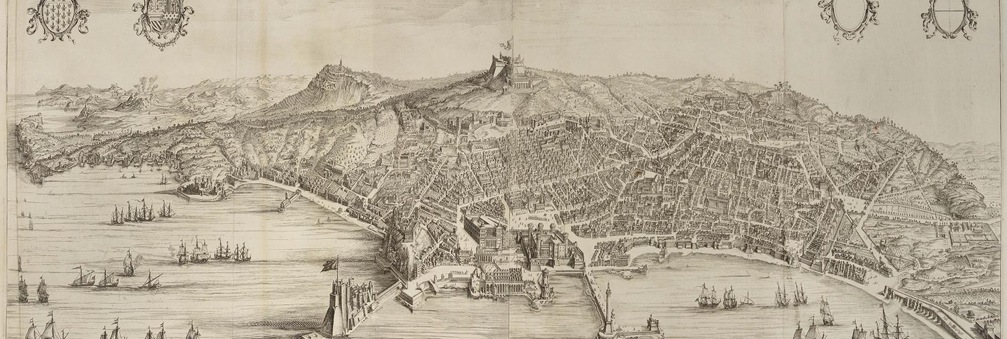
As risks of inundation intensify with climate change, politicians and city planners are looking to land-water edges with renewed interest. Here in Washington, DC, for example, the Georgetown waterfront was recently transformed from a parking lot to a green urban park while the Anacostia Waterfront Initiative (AWI), launched in 2000, aims to create a lively river edge and restore water quality in the Anacostia area. Despite our present preoccupations, however, river systems are important not just for ecological but also for economic and cultural reasons. Drawing from the Dumbarton Oaks Rare Book Collection and supplemented with contemporary images, City Water/City Life surveys how three cities—Amsterdam, Florence, and Paris—have made use of their waterfronts. Curated by Jeanne Haffner, John Wang, and Anatole Tchikine.
2016—2017

John Davis, Tyler fellow in Garden and Landscape Studies, created a digital atlas of waterways big and small in Washington, DC, from the eighteenth century to the present. Unlike a traditional atlas on paper, the online atlas gives the user a clearer sense of the relationship in scale between a city block and the course of an entire river. It also facilitates visualizing changes over time in layers or phases, rather than having to combine those phases into a single diagram or distribute them over several maps. Davis’s atlas further highlights how different the city’s landscape might have looked if certain rejected projects had been realized. One area of the map allows viewers to see how a proposed dam on the Rock Creek would have created an enormous reservoir in the north part of the city.